BostonHarborwalk.org is the new destination for discovering the Harborwalk along Boston’s waterfront neighborhoods. The new website was launched this week by Boston Harbor Now, in cooperation with State and City agencies. Residents and visitors can use the site to discover and navigate the Harborwalk’s privately-owned public spaces (POPS). Highlighted access points include seating areas, wifi, open space / lawns, observation decks, wifi, water taxis, exhibits, eateries and restrooms.
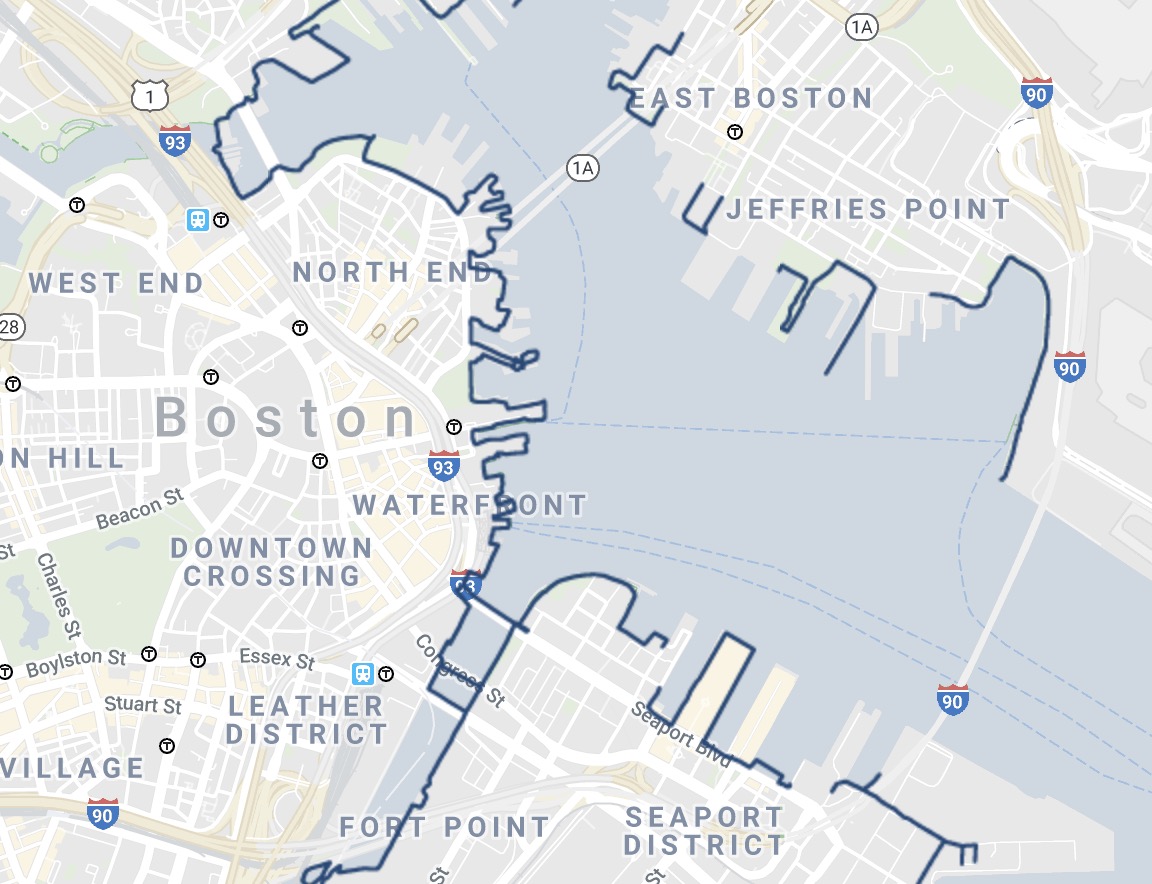
The Boston Harborwalk covers the following neighborhoods: North End, Downtown Waterfront, Charlestown, East Boston, South Boston, Seaport, Dorchester and Fort Point Channel.
The site is mobile friendly and was created to promote greater usage of spaces open to the public under Chapter 91 law, bringing more residents and visitors to the waterfront to enjoy the benefits of Boston Harbor.
A launch event at the Envoy Hotel was held on July 11th to feature a demonstration by Boston Harbor Now’s Director of Policy, Jill Valdes Horwood and remarks by Mass. Dept. of Environmental Protection Martin Suuberg, Boston Planning and Development Agency (BPDA) Brian Golden and Boston Harbor Now President Kathy Abbott.
Check out the web tool first hand at BostonHarborwalk.org


Hats off to Boston Harbor Now! Great interactive map and so easy to use.
We were in the Seaport District today playing tourist and I tried using the Harborwalk app on my android and I couldn’t get it to show me where we were. Not helpful.