Saturday’s High Tide – Flooding Continues [Photos]
Posted onAuthorAmanda StollComments Off on Saturday’s High Tide – Flooding Continues [Photos]
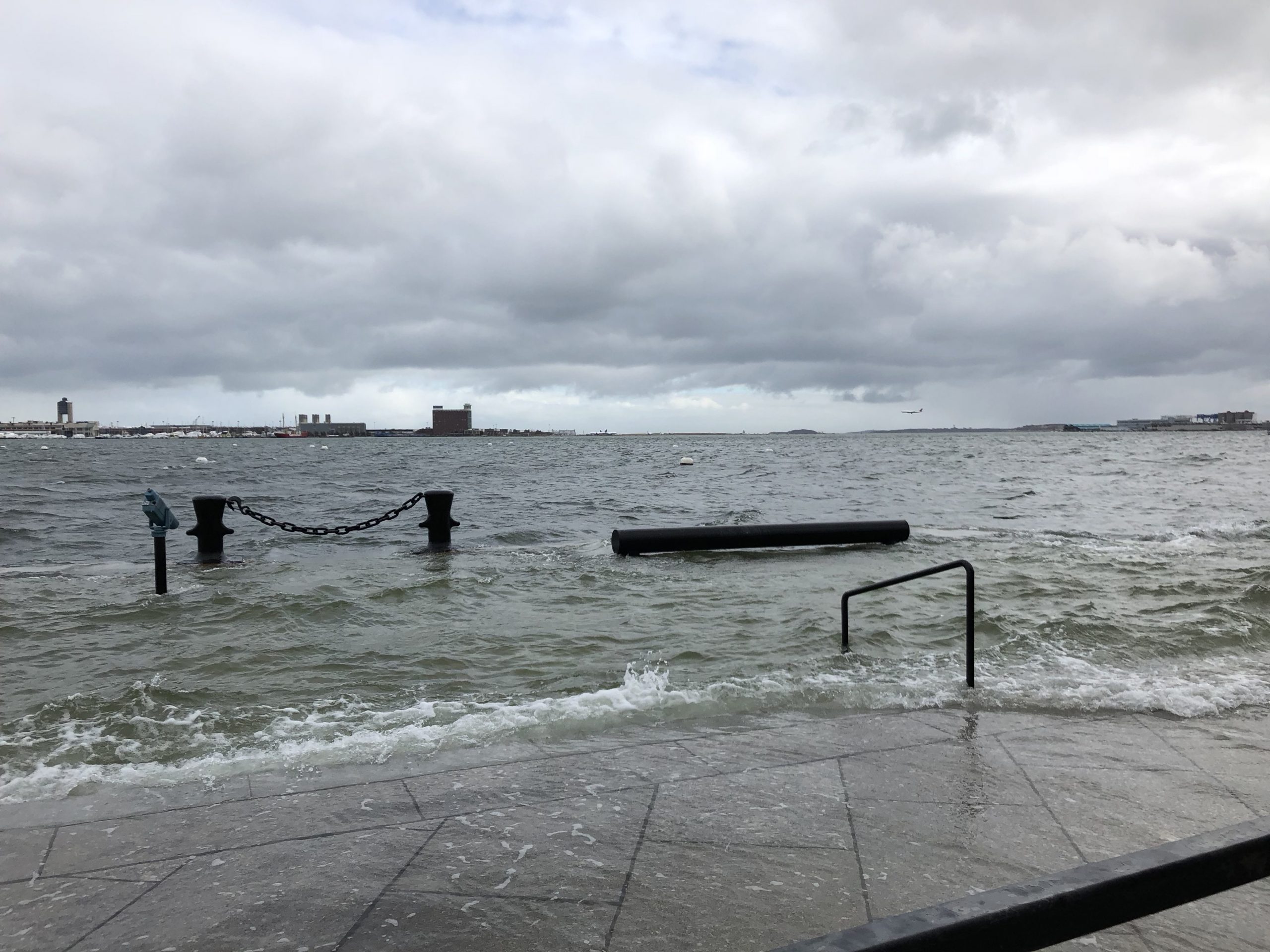
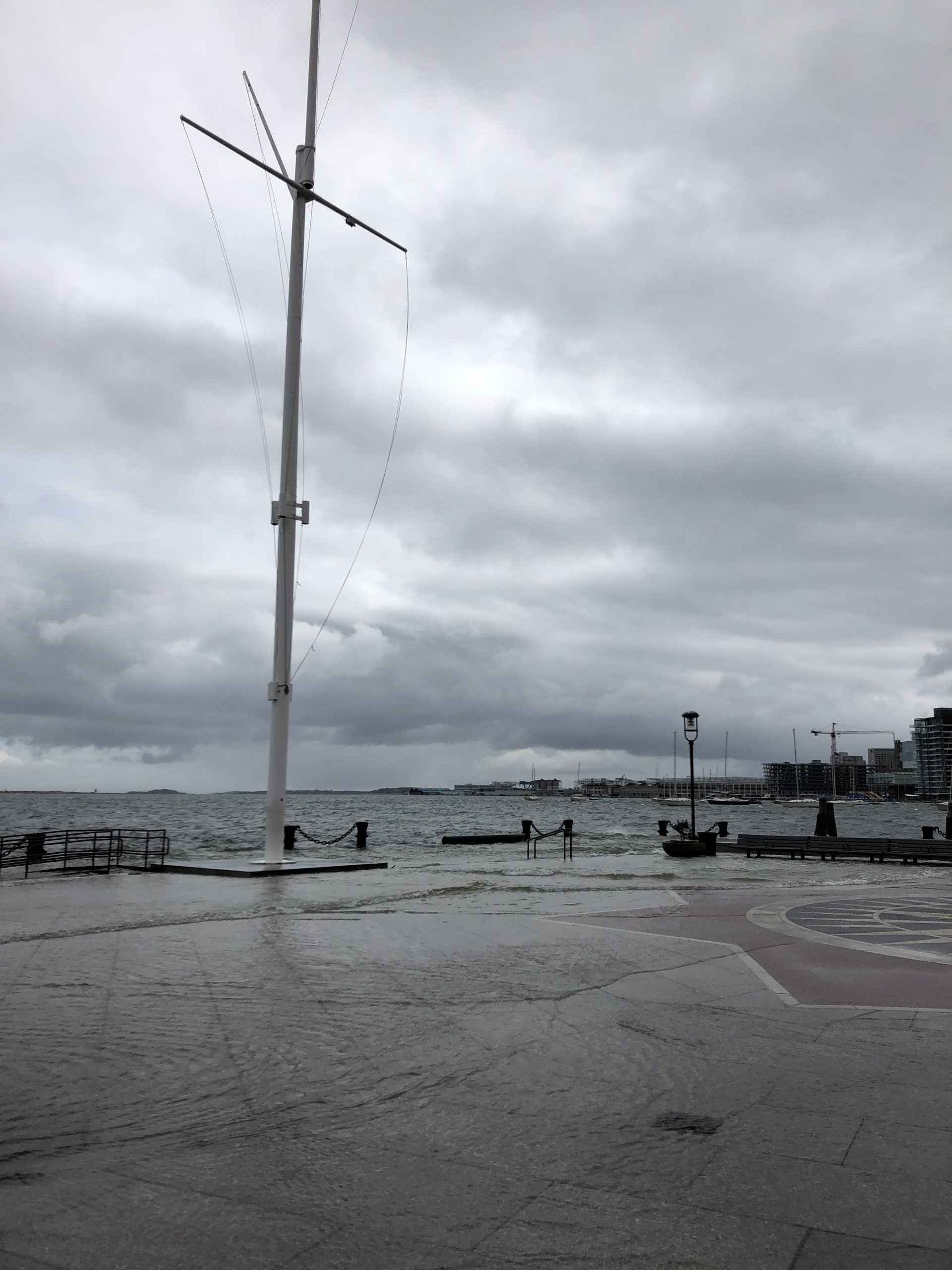
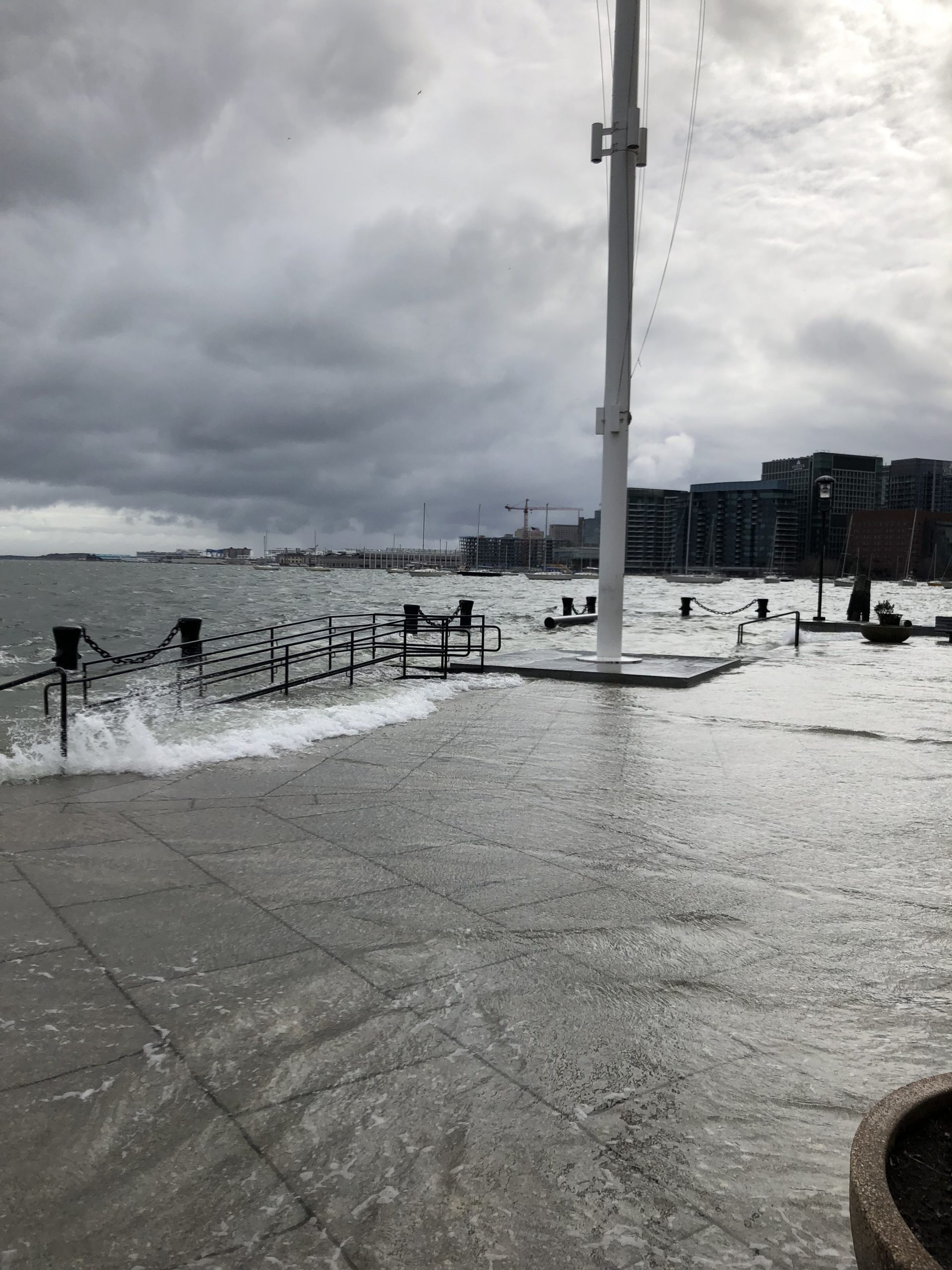
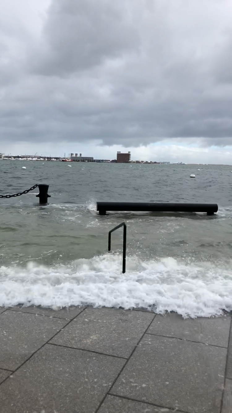
The third and final high tide of Nor’Easter Riley hit Boston Saturday afternoon around 12:05pm, bringing strong wind gusts and additional flooding to the North End Waterfront. See photos below.
NEWF photo by Amanda Stoll
NEWF photo by Amanda Stoll
NEWF photo by Amanda Stoll
NEWF photo by Amanda Stoll
NEWF photo by Amanda Stoll
NEWF photo by Amanda Stoll
NEWF photo by Amanda Stoll
NEWF photo by Amanda Stoll
NEWF photo by Amanda Stoll
NEWF photo by Amanda Stoll
NEWF photo by Amanda Stoll
Photo credit: Devin DiCristofaro
Photo credit: Devin DiCristofaro
Photo credit: Devin DiCristofaro
Photo credit: Devin DiCristofaro
More photos from Langone Park, the HarborWalk and under the North Washington Bridge:
Photo credit: Thomas Schiavoni
Photo credit: Thomas Schiavoni
Photo credit: Thomas Schiavoni
Photo credit: Thomas Schiavoni
“Neighborhood Photo” is a regular feature on NorthEndWaterfront.com. Submit your interesting photos using our Submit a Post form or tag @northend.waterfront on Instagram. Please include a caption or story telling us about your photo.
While you’re here …we have a small favor to ask. More people than ever are reading NorthEndWaterfront.com but we need your help making ends meet. Advertising doesn’t bring in enough to pay for reporting or editorial work. Keeping this website going takes a lot of time, money and hard work. But we do it because we believe community news is important – and we think you do too. If everyone who reads this site, who likes it, puts in a bit to pay for it, then our future would be much more secure. Checks can be made out to North End Boston LLC, 343 Commercial St. #508, Boston 02109 or contribute online using the following links:
Mayor Marty Walsh spoke to the Wharf District Council on July 16th, covering a range of issues from building seawalls along Boston’s waterfront to dealing with the city’s ever increasing traffic congestion. Climate resiliency is high priority for Walsh as he announced an ambitious plan to build seawalls and burns to protect against flooding. “We Read More…
Friday’s Nor’easter will be a major coastal storm with flooding forecasted to be as bad, if not worse higher than during the January 4th snowstorm. With a 3 to 4 foot storm surge, the high tides could reach over 15 feet. Further, this storm will last over at least three high tide periods into Saturday. The Read More…
Boston Harbor Now, an organization dedicated to bringing the Boston Harbor back to the people, hosted a panel that invited waterfront leaders from across North America to talk about how their cities are developing their waterfront spaces on Thursday evening. Celebrating the 35th Anniversary of Boston’s Harborwallk throughout the month of October, the organization invited Read More…