Boston’s Climate Ready Downtown and the North End Project team recently gave an update on their plans to protect the neighborhood from flooding due to rising sea levels. Mayor Walsh has also started talking in more detail about potential seawalls as the study comes to an end in the Fall of 2019. Thanks to Michael Dornbrook for much of this rundown who attended the meeting where project team narrowed down their recommendations to two options.
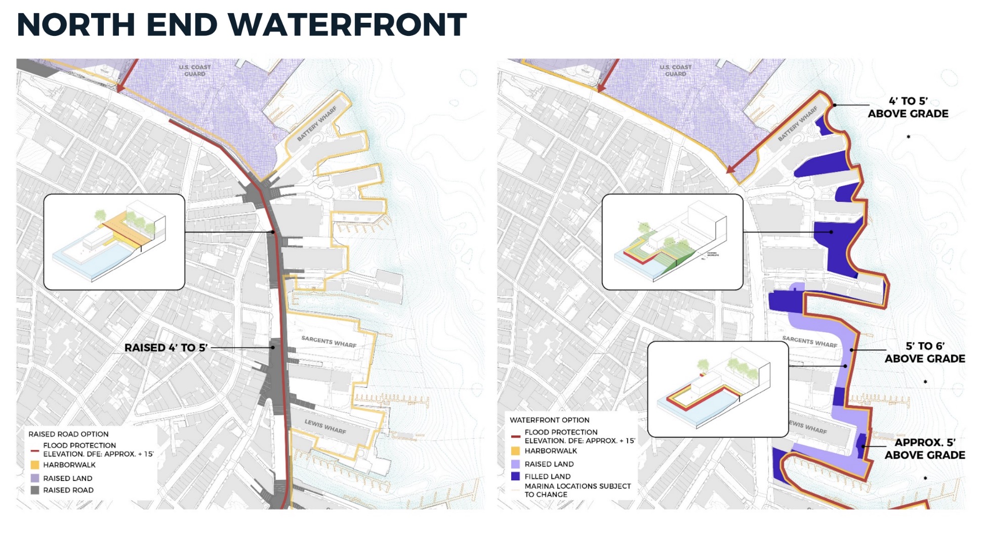
The first option is to raise the roadway and bike lanes by 5-7 feet. This has the advantage of being public property so it would be easier to get permitted. It has the disadvantage of leaving the entire waterfront unprotected, especially the wharves (Commercial, Lewis, Union, Lincoln, Battery, Pilot House, Long, Rowes, Harbor Towers, Atlantic, etc.) which are all on the wrong side of the barrier.

As for the waterfront access, officials are proposing ramps up and over the street for both pedestrians and vehicles. All the streets that intersect with Commercial St. and Atlantic Ave. would have new ramps installed around a raised bikeway.

The second option is to build seawalls and organic berms a bit further out from all the current harbor seawalls, but 7+ feet higher. A new stepped Harborwalk would form the top of these walls. The plan also shows new public green space being built on fill in the water on sides of the wharves and waterfront buildings.

The design team admits that they haven’t yet worked out how to deal with the marinas, but say they will find a solution for them. The advantage of this plan is it protects the waterfront buildings and provides new open space on the waterfront. The downside is the complexity that would require collaboration with private properties and some views would be impaired for some waterfront ground level buildings.
Officials claim the cost of each of these approaches is similar despite appearances that the harborwalk seawall plan appears to involve so much more construction.

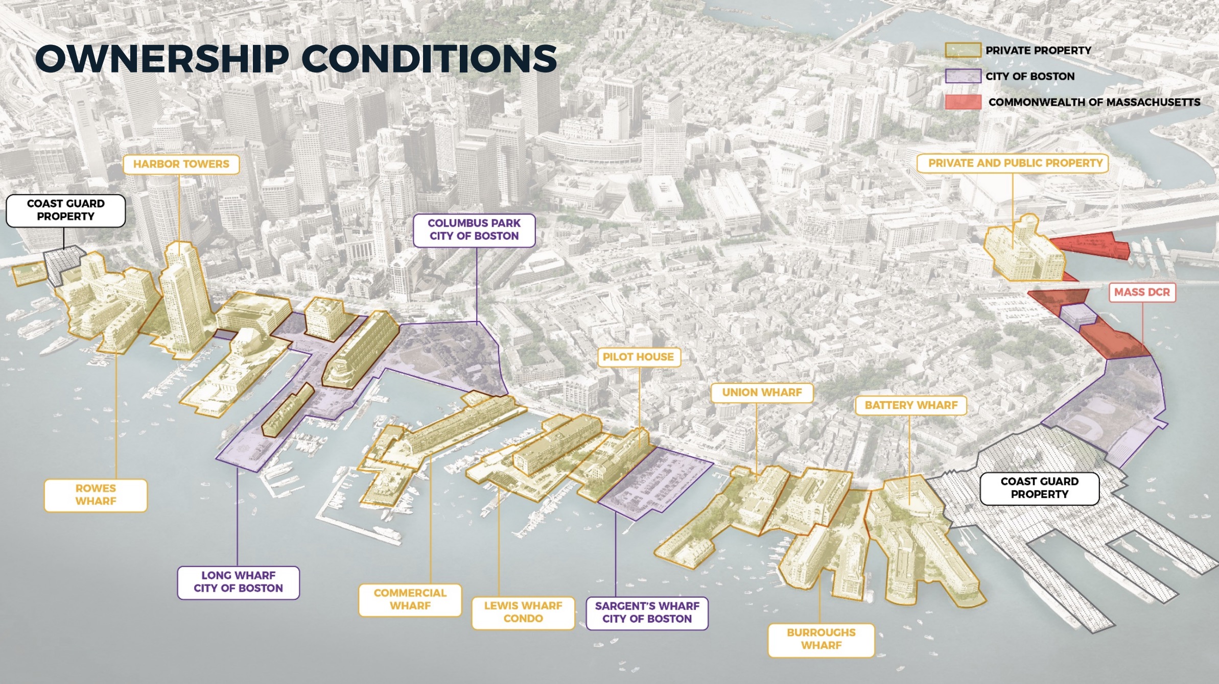
In answer to a question from a waterfront property owner, city officials said that they had the power to overrule historical designations, noting that “preservation doesn’t mean much if a building is flooded.”
Attendee Bill Golden lobbied the team to reconsider putting in gates between Hull and Deer Island that can be closed when a large storm approaches. One of his observations is that after Hurricane Sandy, New York City has adopted a very similar approach to Climate Ready Boston, but has not protected one building in seven years.

Representatives from a Netherlands delegation attended to help consult on the project. One member questioned Climate Ready Boston’s approach because it involved too many small projects, any one of which being incomplete would compromise the whole. There are also concerns that the plan would be held up in disputes and lawsuits for decades.
For his part, Boston Mayor Marty Walsh describes the plan as “building a seawall along the entire inner Boston Harbor,” he said. “And, we’re covering it with grass, trees and walkways to really create something special.” He contrasted Boston’s plan with what he saw recently in NYC where submerged barriers are being built to rise up around key buildings, leaving the streets, utilities and public transportation exposed to flooding. “We’re also going to bring the coastline back to people,” he emphasized regarding the new Harborwalk-like strategy. “One of the criticisms has been that we walled off the waterfront … when our 47-mile plan is done, this will connect people back to the harbor,” he added.
This Climate Ready Boston team is expected to file their report in September. The project team’s slide deck also includes more details for the Wharf District and West End.
All images courtesy of City of Boston. View the entire presentation here (large pdf).


Looks like they’re sorry for tearing down the elevated highway.