I recently went on a architecture history walk, courtesy of Context Travel, centered around the Big Dig and Boston’s development history from colonial times to the establishment of today’s Greenway parks. Our guide was Amy Finstein, a professor of architectural history who has extensively researched Boston’s original Central Artery along with similar urban modernization in Chicago and New York.
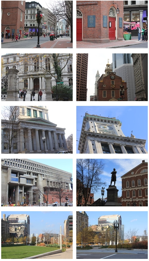
With our architectural historian, the three-hour walking tour used the Big Dig “as a lens to look deeper into the history of the city and trace its evolution from the 17th century to the present.” The walk began at the Old South Meeting House in Downtown Crossing and ended at Boston Harbor. Using historical maps and photos, we examined how the layout of the city came into being before the Central Artery and why the highway was built through the city’s core in the 1950s.
One of my favorite images was that of a newspaper before the artery was built showing posters that North Enders put on buildings protesting the proposed demolition that would cut off the North End to the rest of the city for over half a century. Those protests obviously failed at the time. The story of the Central Artery mirrors that of many other American cities as does the recent change in urban planning toward more open space that is seen today in the Greenway parks.
I captured some photos from the tour. I also met a BPS teacher and travel blogger on the walk, Lillie, who has posted more at AroundTheWorldL.com (and for teachers, check out TeachingTraveling.com).
More information on Context’s tours can be found here, including North End walks led by local historians Jessica Dello Russo and Alex Goldfeld.