The folks at Google Maps have brought the classic arcade game, Pac-Man, to life on the streets. In what appears to be an April Fool’s “feature,” you can make any street map into working Pac-Man board.
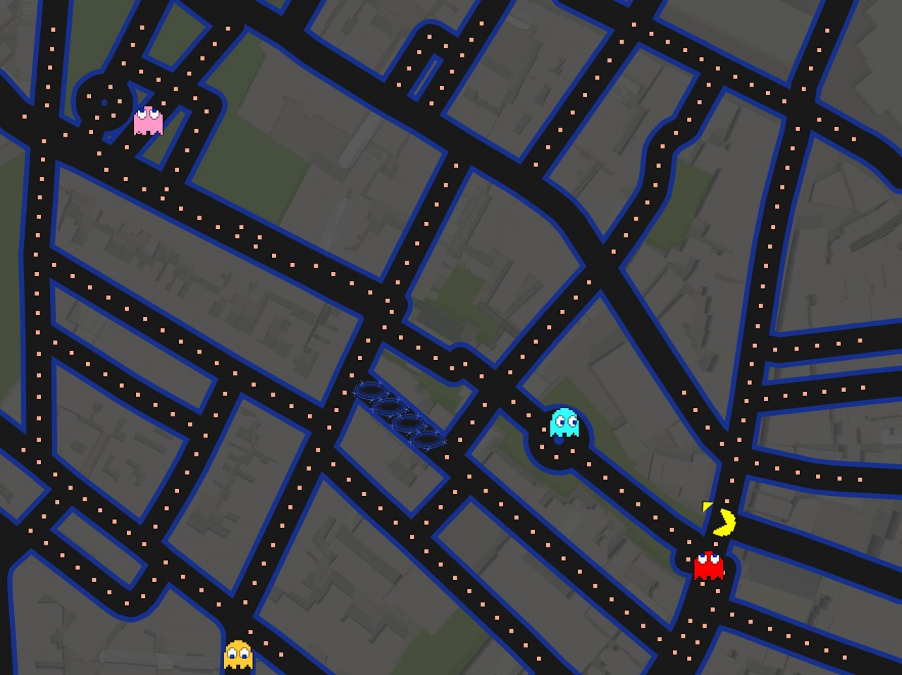
In the screenshot above, Pac-Man is on Hanover Street near St. Stephen’s Church where the Freedom Trail turns to go into the Paul Revere Mall/Prado. The light blue monster is going around the Prado fountain and the pink monster is near Copp’s Hill.
I found that North End’s streets are not very Pac-Man friendly as I was constantly getting stuck. Easier grids are in Back Bay or Manhattan where there are rectangular patterns.
Try it for yourself. The streets you choose will magically turn into a Pac-Man board.